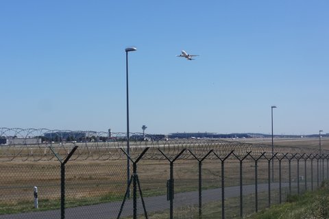
The aim of ULTRAFLEB were stationary and mobile field measurements of ultrafine particles (UFP) and various other quantities in the vicinity of Berlin Brandenburg Airport BER as well as associated model calculations.
The project began in November 2020 and ended on 31 October 2025. Measurements were terminated in November 2022, the remainder of the project is dedicated to data evaluation, modelling, and model validation.
The following stations for the measurement of ultrafine particles (UFP) were operated in the framework of ULTRAFLEB:
- Blankenfelde-Mahlow: 5 km west of the BER terminal, managed by TROPOS. In the immediate vicinity of the permanent air quality monitoring station Blankenfelde-Mahlow of the Brandenburg State Office for the Environment (LfU).
- Berlin-Bohnsdorf: 6 km northeast of the BER terminal, managed by Flughafen Berlin Brandenburg GmbH (the operator of the Berlin airports).
- Trailer measuring station, supervised by TROPOS & TU Berlin. This station is used temporarily at 2 different locations east of BER Airport (4 weeks per location. 1st campaign completed in autumn 2021, 2nd campaign planned in 2022).
- Mobile measurements by car, bicycle and drone, carried out by the TU Braunschweig.
The stations and mobile measurements are equipped as follows:
- All stations and mobile measurements: Condensation Particle Counter (CPC) for measuring the total number concentration of particles with a diameter greater than 7 nm.
- All stations: Mobility Particle Size Spectrometer (MPSS) for measuring the number size distribution in the diameter range 10-800 nm.
- TROPOS stations (Blankenfelde-Mahlow & Trailer): Cyclic alteration between measurement of all UFP and non-volatile UFP. Before reaching the MPSS, sample air passes through a thermal denuder; when the thermal denuder is switched on, only non-volatile particles can pass.
- All stations and mobile measurements: Measurement of the mass concentration of soot (elemental black carbon, eBC) using a Multi-angle Absorption Photometer (MAAP) or an aethalometer (also for drone measurements! For mobile measurements with a bicycle or car a MicroAethalometer is used).
- All stations and mobile measurements: measurements of fine dust (PM10, PM2.5, PM1). In the case of the Blankenfelde-Mahlow station, these data are supplied by the nearby air quality monitoring station of the Brandenburg State Office for the Environment (LfU); at the other stations and for mobile measurements, these measurements are integrated into the stations or mobile instruments.
- All stations: measurement of nitrous oxides (NO/NO2), ozone (O3) and carbon monoxide (CO). The same peculiarity as above applies to Blankenfelde-Mahlow here.
- All stations and mobile measurements: measurement of carbon dioxide (CO2).
- Mobile measurements: weather data. In the case of stationary measurements, the meteorological data from BER Airport are used instead.


